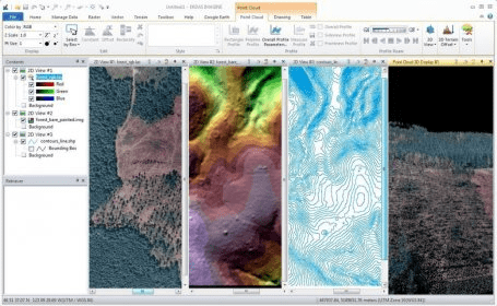
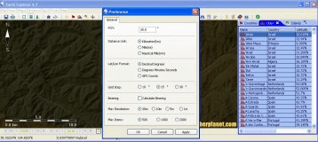
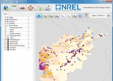
ERDAS IMAGINE is a very useful program for accessing a huge database of geospatial data. It enables you to make decisions on many situations. Imagine captures and tracks specific times and places, and monitor the occurred changes. The program is one of the best sensing solutions, providing tools to create, manage and analyze imagery. It will provide you with high-value geospatial information. The program combines remote sensing and GIS capabilities, which enable you to manage geospatial data, and extract the information that you want.


Comments (7)