ERDAS IMAGINE 14.00
Recognizes and analyzes geospatial images
Share
Program info
See all (3)
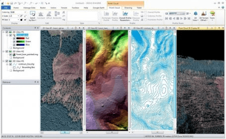
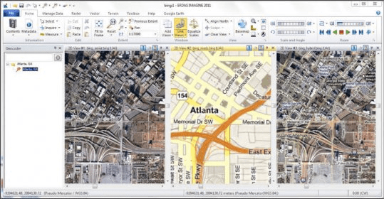
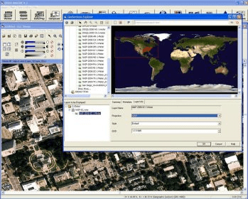
Work with geospatial technologies by processing relevant images via the remote sensing and image analysis program. It has multiple features for generating and customizing robust data analysis, including Python scripting, export to OGC WPS and batch processing commands.
ERDAS IMAGINE is a powerful remote sensing and image analysis program. It is a gateway to multiple integrated geospatial technologies, intuitively guiding a user through their experience with powerful tools and functionality. You can easily create robust data analysis, including Python scripting, export to OGC WPS and batch processing commands.
Details
Extensions

No information available
The data will be available later.Awards

There are no awards
Over time, app awards will appear here.