
ERDAS IMAGINE 14.00
รุ่นล่าสุด:
14.00.0 (ลองดู)
นักพัฒนา:
Leica Geosystems Geospatial Imaging, LLC
Work with geospatial technologies by processing relevant images via the remote sensing and image analysis program. It has multiple features for generating and customizing robust data analysis, including Python scripting, export to OGC WPS and batch processing commands.
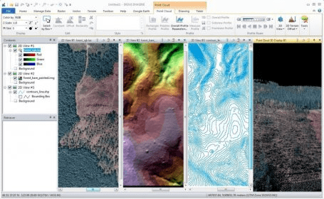
ERDAS IMAGINE อนุญาตให้คุณทำการสร้างข้อมูลจากหญิง นอกจากกับ ERDAS IMAGINE คุณสามารถภาพผลการทดสอบของคุณอยู่ใน 2D, 3D หนังและอยู่ cartographic คุณภาพบนแผนที่ compositions นERDAS IMAGINE performs ขั้นสูงทางไกลรู้สึกว่าการวิเคราะห์และ spatial นยังเป็นนางแบบเพื่อสร้างข้อมูลใหม่ข้อมูลปรับปรุงเมื่อ: